Monday Morning Northland Forecast: 10/28/2024
Warm, Then Wet Weather
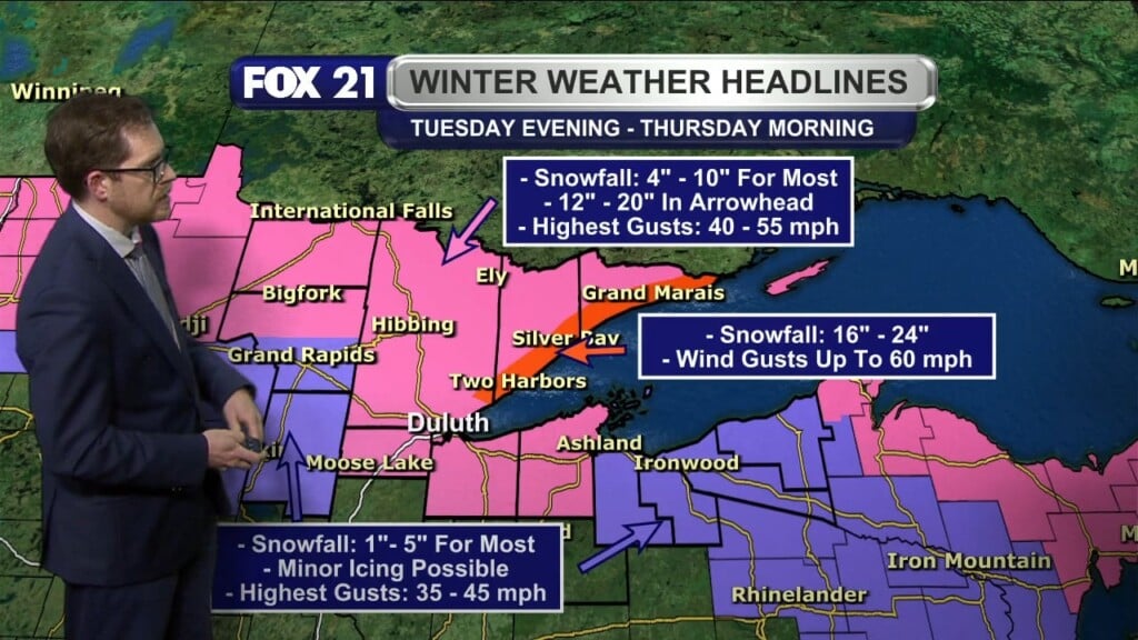
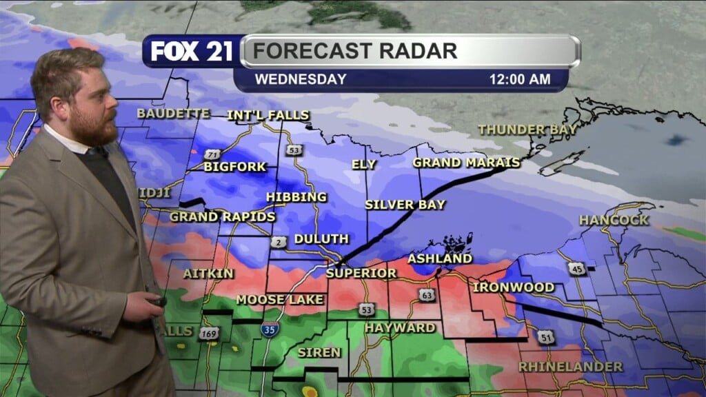
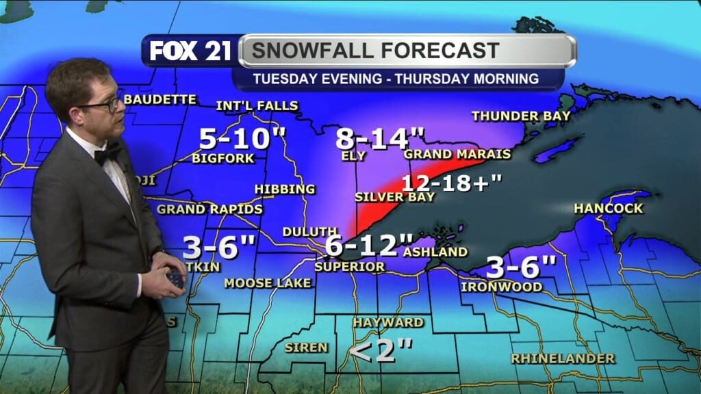
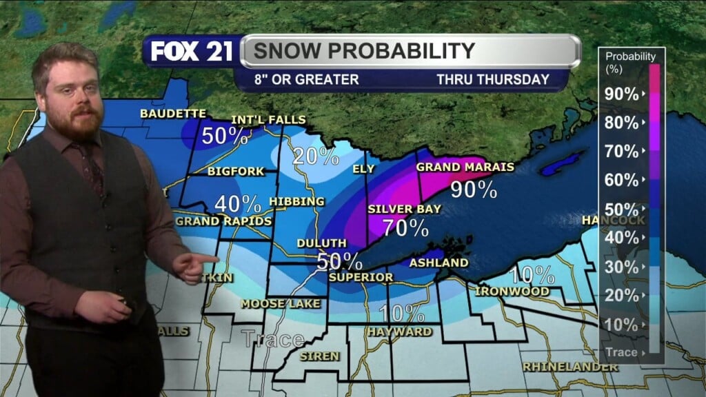
As of today, we are 4.32″ below where we should be for precipitation for the year. That is about to change. While we won’t see any rain (or snow) today, we will probably see some form of precipitation on Tuesday, Wednesday and even Thursday. While we won’t get 4.32″ of moisture over that three day period, we will at least lessen that deficit a little bit over that time. And actually, it may end up being a combination of the wet stuff, and the white stuff.
We will have warm temps both today and tomorrow. The average high for today is 47 degrees. Our high temps the next two days will be 62 and 64. The record high for today is 66, so we will be in that neighborhood. With the passage of a low pressure system and cold front on Tuesday night, our temps will fall significantly. Our highs Wednesday and Thursday will be 54 and 44. That’s why there is a chance for flurries on Thursday morning. There wouldn’t be any accumulating snow, but it may be enough to excite the kids for a couple hours! The flurries won’t last long, and I think we will be just fine for trick-or-treating on Thursday evening. It may be a little cool (high of 44), and windy, but it should be dry. It’s easy enough to bundle up under the costumes!
Then, high pressure builds in for Friday and into the weekend, with dry and partly sunny conditions, and highs in the upper 40s and low 50s. Also, don’t forget to set your clocks BACK an hour, when you go to bed on Saturday night. Yes! An extra hour of sleep!
Have a great Monday!
FOX 21 Meteorologist Karl Spring


