Friday Morning Northland Forecast: 11/15/2024
Sunny Friday
Clouds are lingering early this morning but more broken and look to move out to the east as we progress into the afternoon today. Quite mild this morning for many of us, with current temperatures this morning hovering in the low 40’s from the UP and northern Wisconsin, to the mid 30’s in much of the Minnesota side of the Northland. As we get going into the day, expect a high of 48 and a low of 34, with winds picking up a little bit out of the southwest at 5-10 mph, with the sun coming out as the clouds move on out.
Going into the weekend, the very mild temperatures will continue, and the clouds will return. Saturday, clouds will be coming in especially later in the day with a high of 49, a low of 38, and will be bit breezy with the winds out of the southeast at 10-15 mph. Sunday, it will be quite cloudy early but will become sunnier later with a high of 45, a low of 30, and winds out of the west at 5-10 mph.
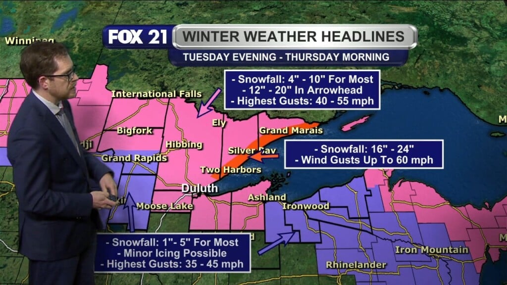
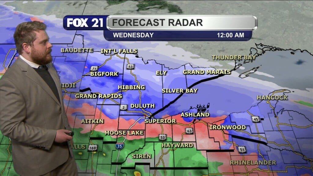
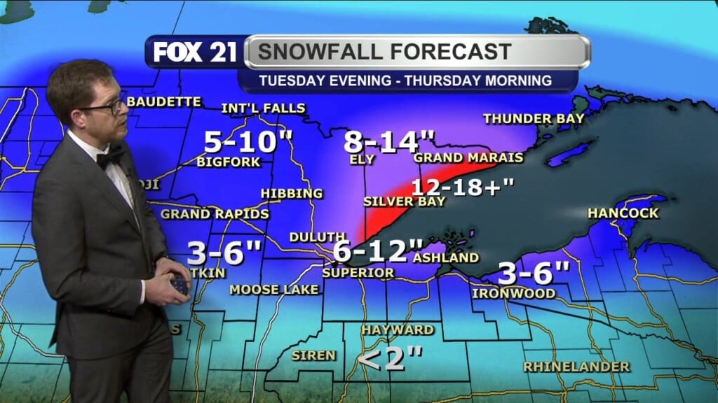
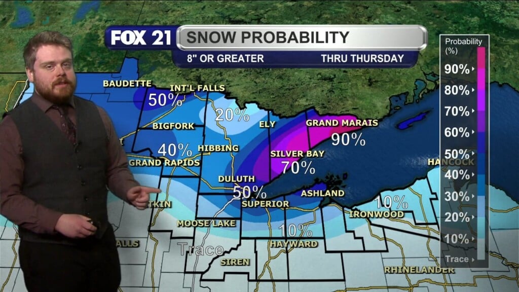
Next week, a system or even two will be moving into the area starting Tuesday bringing wind, rain, and potentially snow. Right now, with how even small variability of this system can vastly change of weather for our area, it is still a bit far out to know exactly how much rain and potential snow will come with this system but know that regardless of this variability, it will still have impacts for the Northland in the middle of next week.
Fox 21 Meteorologist James McAllister


