Friday Evening Northland Forecast: 11/29/2024
A Chilly Weekend!
Do you know what the average high and low for today is? That would be 31 and 16. We had a high and low temp of 17 and 10. So, what’s the deal? We are having January temps in late November. And, that is how you get average or normal temps. We had above normal temps for much of late summer into early fall, and now, we are at the other end, getting temps that are way below average! It makes it seem like we are going to have a long winter, doesn’t it? And, with the persistent and strong NW winds we’ve had for the last few days, and will continue to have this weekend, it makes it seem pretty cold and raw out there. Dress in layers!
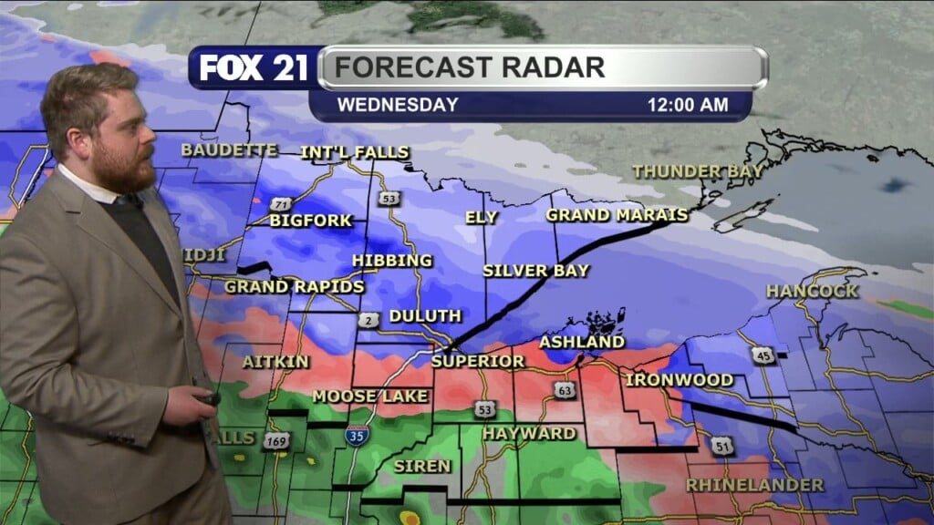
For this weekend, high pressure will keep us cool, kind of breezy, and somewhat bathed in sunshine. Highs this weekend will be in the teens Saturday, and up to the mid 20s for Sunday. We will warm a bit into the middle of next week, with chances for light snow on Tuesday and Wednesday. Highs those days will reach the 20s. Then, it’s right back to highs in the teens for Thursday and Friday. Like I said, this may be the start of a long winter.
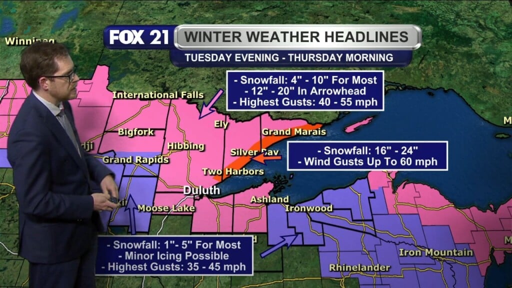
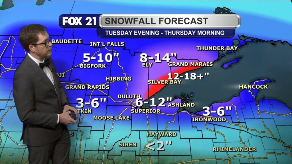
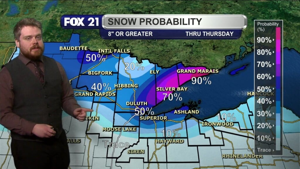
If you live on the South Shore of northern Wisconsin, and the U.P of Michigan, it definitely feels like winter is already in progress. There are winter weather advisories and warnings across those areas for the whole weekend, where they may be measuring snowfall over a foot into Michigan. Once the lake effect snow machine turns on, it tends to stay that way for days, if not weeks. Lots of snow on the way for you folks there, but you’re used to it, and I know you wear that with pride. The U.P. is for hearty people!
As we turn the page into December on Sunday, throw another log on the fire, slip on another layer of clothing, and keep that snowblower gassed up. We are just getting going!
FOX 21 Meteorologist Karl Spring


