Friday Evening Northland Forecast: 3/21/2025
Winter Storm Watch
If you’ve lived in the Northland for any length of time, you know that just because we are now in “Spring,” that does not mean we are done with winter weather. Over the years, I’ve seen heavy snowfalls, and even blizzard conditions in March, April, and even once in May. The name of the season means nothing in the Northland!
Knowing that, you are not the least bit surprised that we have a Winter Storm Watch that will be in effect for the majority of the Minnesota part of our viewing area from late Saturday night thru early Monday morning. The watch officially runs from 11pm Saturday night to 1am Monday morning. I expect the watch will be updated to a warning sometime on Saturday. At this time, almost no snow is expected for our Wisconsin viewers. Snowstorms are kind of funny that way. They can have really sharp lines where the precipitation cuts off. And, that is the case with this storm.
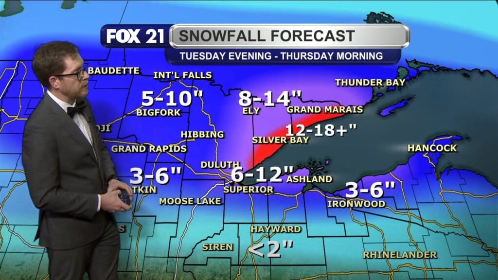
Most of northern Minnesota will see about 4-6″ of snow on Sunday. But, parts of the Iron Range and the North Shore could see from 8″ to 13″ of snow from late Saturday night thru early Monday morning. It will also be quite windy on Sunday, with strong winds mainly from the east, up to 30mph. If you’re a snow lover (who up here isn’t?), get out and enjoy the snow on Sunday and Monday, because next week, our high temps will be mainly in the 40s beginning on Tuesday, so this nice batch of new snow may not last long.
Obviously, driving may be a challenge on Sunday, and into Monday morning. So, slow down a little bit. But, with that in mind, enjoy the snow!
FOX 21 Meteorologist Karl Spring


