Sunday Evening Northland Forecast: 2/15/2026
The Return of Winter
No, it’s not quite Spring, yet. In fact, “Astronomical Spring” doesn’t arrive until March 20th. So, we’ve got a little way to go. However, our recent string of days filled with sunshine, and highs in the 40’s has made it seem like Winter is winding down. That may in fact, be true. But, it won’t feel like it, starting Tuesday.
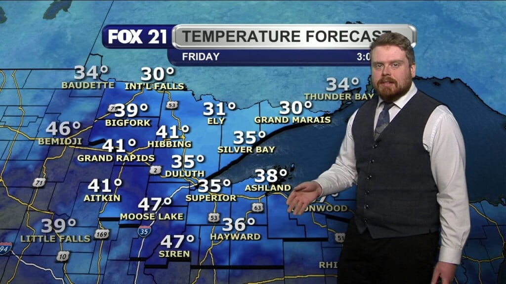
We have 1 more day of fun in the sun, on Monday, when it will be sunny, with a high of 42. Then, two low pressure systems will head this way from Colorado, and Winter is going to make a comeback, in a big way. Tuesday will be cloudy, with a rain/snow mix likely in the afternoon. Easterly winds will become very strong, off Lake Superior. And, the game will be on! By Tuesday night, the winds off the lake will be blasting in, at up to 40mph. And, the rain/snow mix will turn to all snow. Wednesday will be our snowiest day, but the snow will continue all the way into Friday. Our high temps will only be about 30 degrees each day, from Tuesday thru Thursday. Friday thru Sunday, our highs will only be in the mid 20’s. Most of us will see somewhere between 7 and 9 inches of snow, from Tuesday night thru Friday. Heavier amounts will be possible along the North Shore. Lesser amounts will be found in northern Wisconsin, where much of the precipitation will be slow to transition to snow. And, from Tuesday night thru Friday, it will be very windy.
By the weekend, sunshine will return, with highs by Sunday, only about 20 degrees. The normal high for this week is in the mid 20’s.
Monday might be a very good time to make a trip to the grocery store. You will see lots of other people with the same idea!
FOX 21 Meteorologist Karl Spring