Friday Evening Northland Forecast: 1/31/2025
Winter Weather Advisories
We need more snow. At this point in the winter season, we should have had about 52″ of snowfall. We are sitting at 24″ in Duluth, some 28″ short of where we should be. It’s been cold enough for snow in the last couple months. It’s just been too dry. There’s been more snow in Iowa and up in Canada than here in Northern Minnesota. And, Northern Michigan has gotten plenty of snow, too. Especially along the south shore in the upper peninsula. Sometimes, you’re just at the mercy of where the jetstream decides to go. But, this weekend, it looks like we will finally get a decent snowfall, mainly on Saturday.
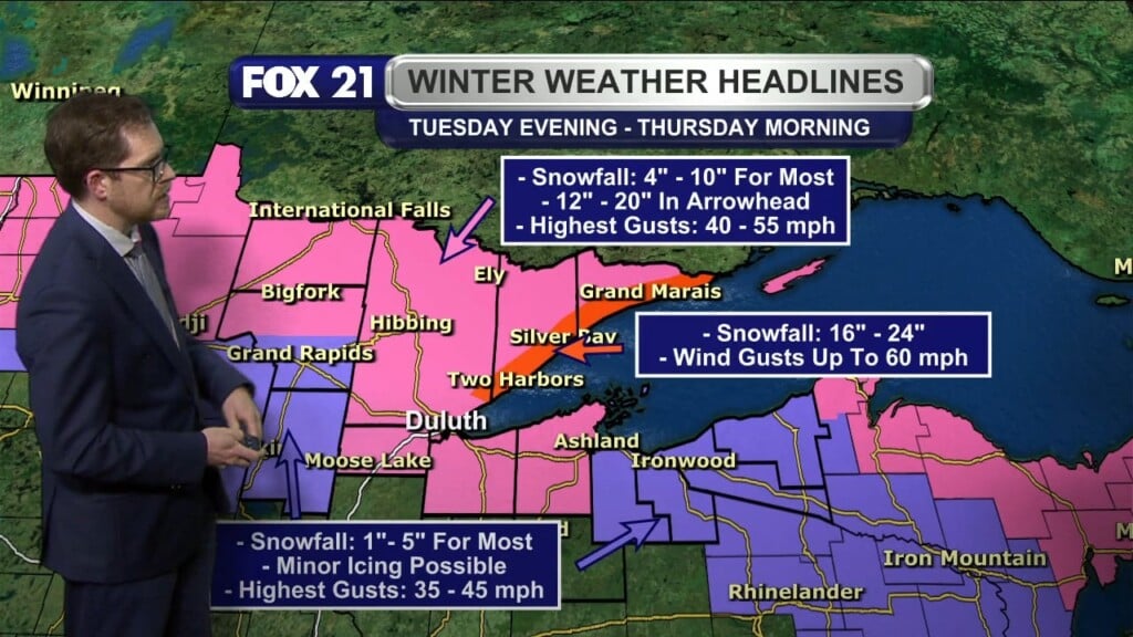
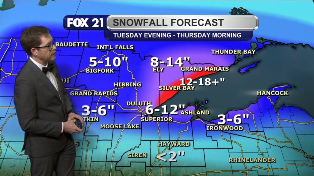
There is a Winter Weather Advisory and a Winter Storm Warning from 10am Saturday morning til 6am Sunday morning. The advisory pretty much covers the whole viewing area, while the winter storm warning is just for the southern parts of Lake and Cook counties in Minnesota. Those areas could see 5″-10″ of snow on Saturday, while the rest of the area is looking for about 4″-6.” It will also be very windy on Saturday, especially in areas near the lake, up the north shore, so that will make travel challenging, heading up and down Highway 61.
High temps on Saturday will be in the mid 20s. On Sunday, the sun will reappear, and temps will get up to the low 30s, with strong west winds. Then, much cooler air moves in, and we will see high temps only in the teens all next week. Monday’s high will be only 12 degrees, with a low of -5 by Tuesday morning. We will have another chance for snow on Wednesday, and next weekend. And our high temps will be back into the mid 20s by Friday.
So, let’s cross our fingers for more snow in the next few weeks, so we can catch up on that 28″ snow deficit we currently have. Of course, having lived in Duluth for the last 20 years, I know it can snow all the way into May! We’ve still got plenty of time.
FOX 21 Meteorologist Karl Spring


