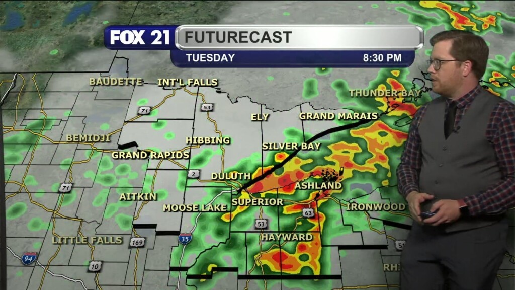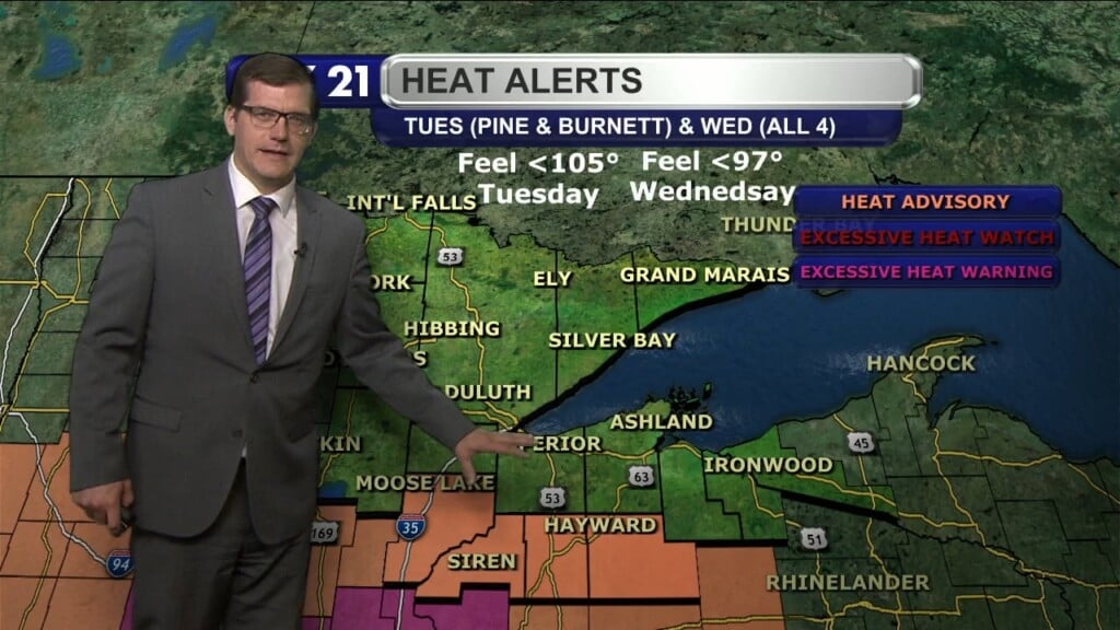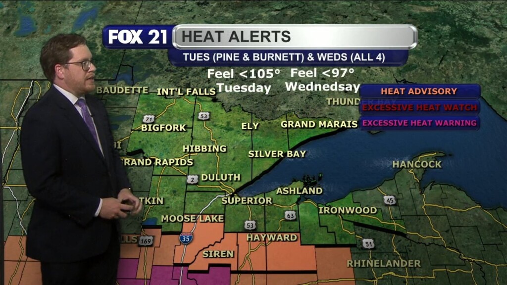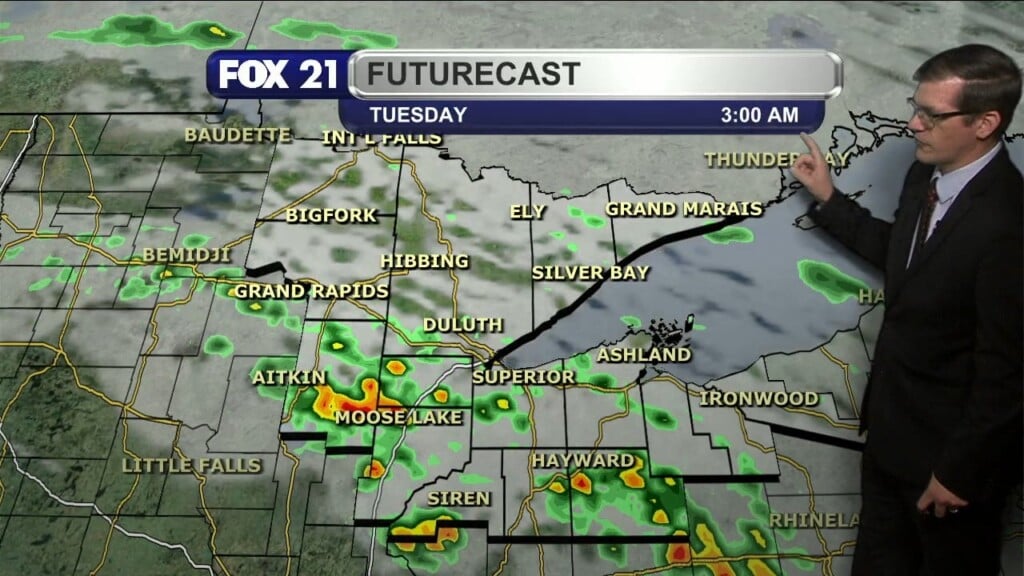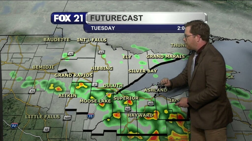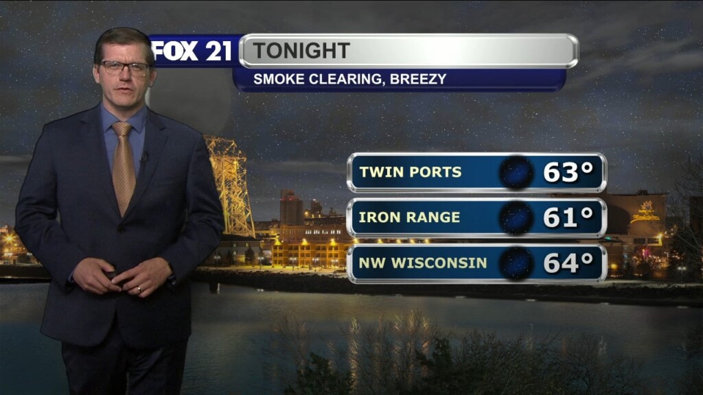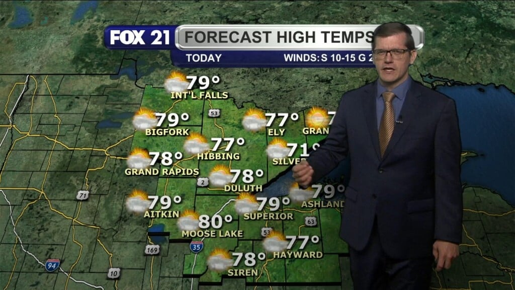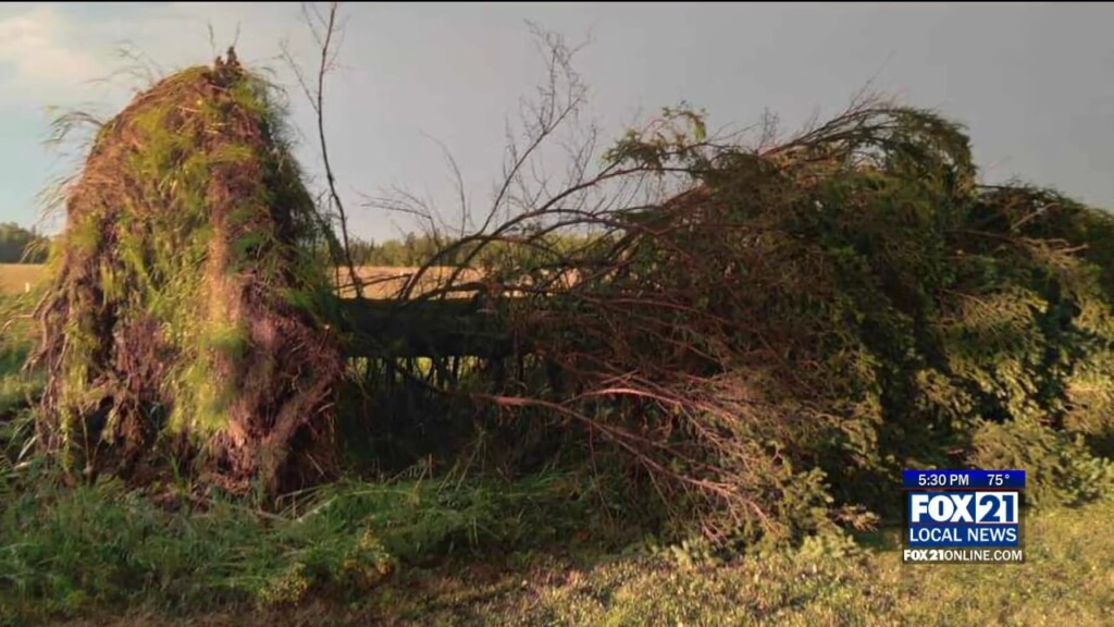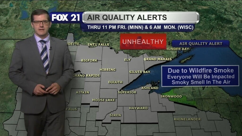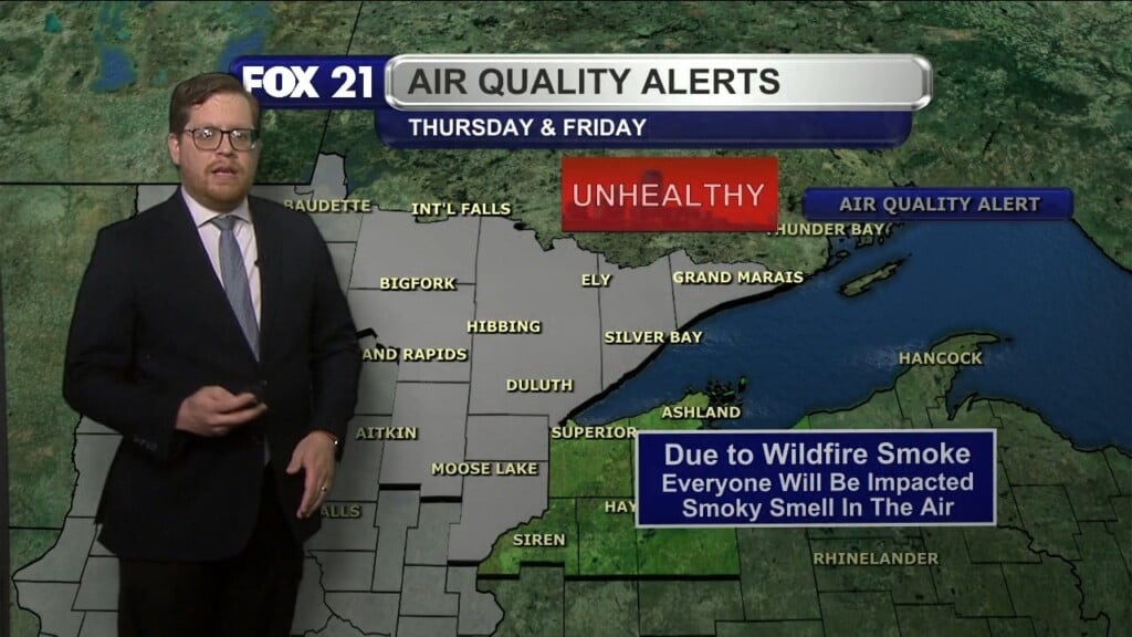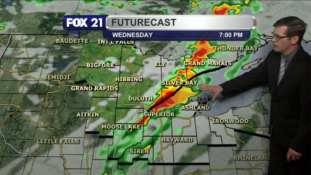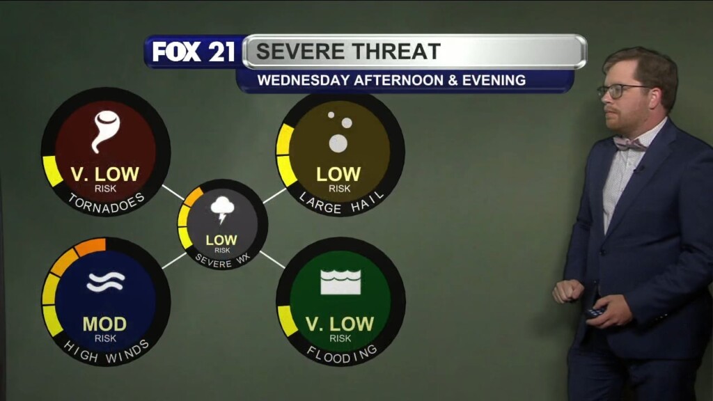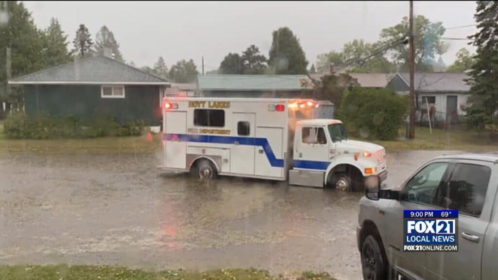
Video, Pictures Of Storm Damage, Flooding In Hoyt Lakes
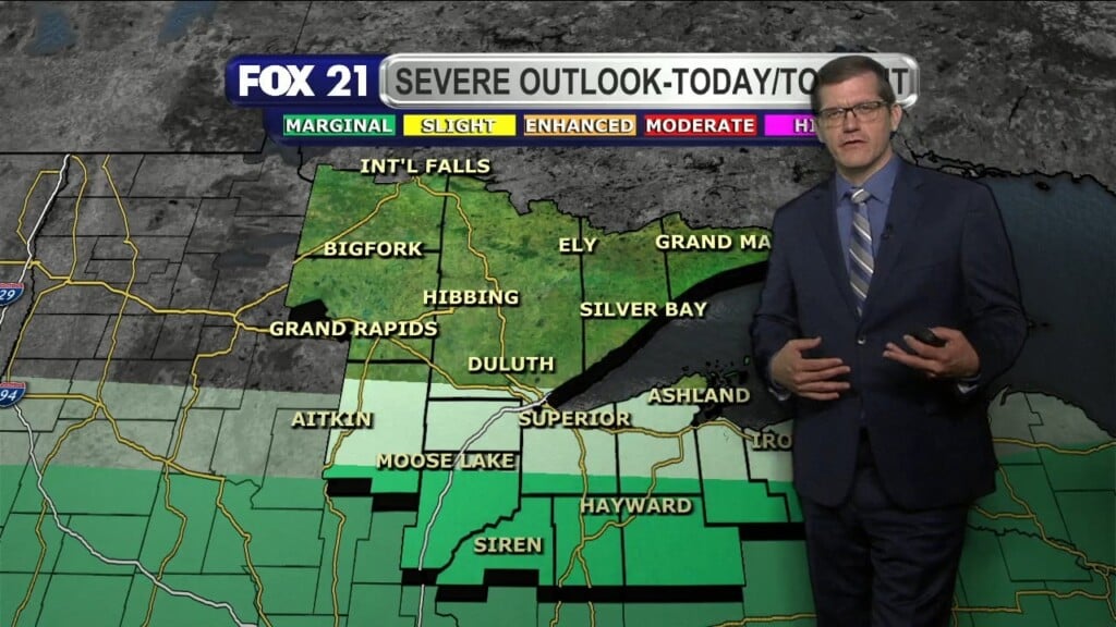
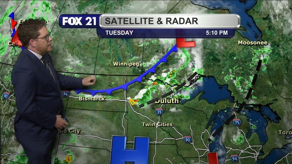
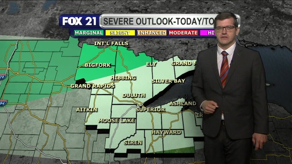
HOYT LAKES, Minn. — Severe weather rolled through the Northland Tuesday, flooding streets and tearing down trees. That was especially the case in Hoyt Lakes. Click the video above for more. Categories: Minnesota, News, News – Latest News, Weather Blog, Weather in the News